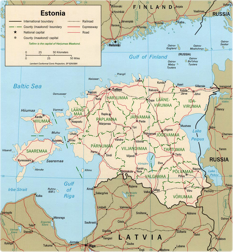
Map of Estonia

It is the former Estonian Soviet Socialist Republic. Estonia became the first Soviet republic to declare independence, on August 20, 1991.
The country has 15 maakonnad: Harjumaa (Tallinn), Hiiumaa (Kardla), Ida-Virumaa (Johvi), Jarvamaa (Paide), Jogevamaa (Jogeva), Laanemaa (Haapsalu), Laane-Virumaa (Rakvere), Parnumaa (Parnu), Polvamaa (Polva), Raplamaa (Rapla), Saaremaa (Kuressaare), Tartumaa (Tartu), Valgamaa (Valga), Viljandimaa (Viljandi) and Vorumaa (Voru). The major seaports are Kuivastu, Kunda, Muuga, Parnu Reid, Sillamae and Tallinn. Border with Latvia and Russia..
Political map - CIA 1999

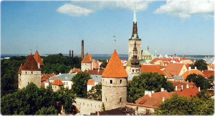
Skyline of Tallinn, capital of Estonia.

|
Copyright © Geographic Guide - Maps World, European Continent. |