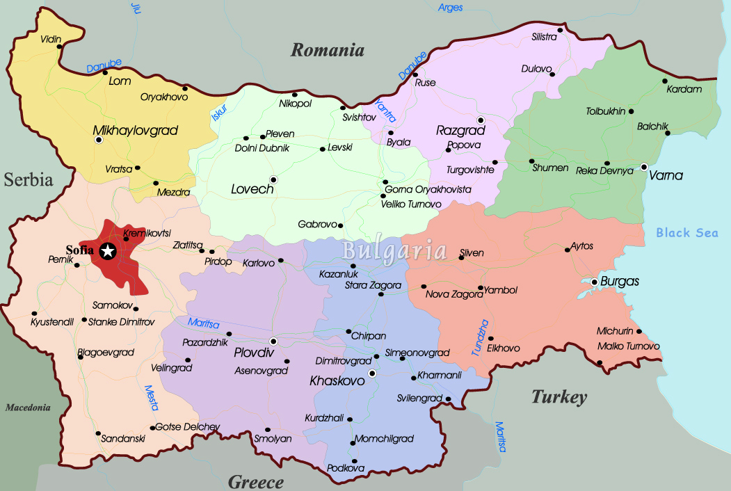
Map of Bulgaria
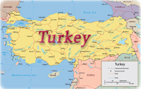
The Republic of Bulgaria is a country of the Balkan Peninsula in southeastern Europe, bordering the Black Sea, between Romania and Turkey. The peaks of the Balkan mountains dominate Bulgaria's terrain, with lowlands in north and southeast.
Bulgaria has a strategic location near Turkish Straits. It controls key land routes from Europe to Middle East and Asia. Major seaport: Burgas and Varna (Black Sea).
|
Copyright © Geographic Guide - Maps World, Balkan Peninsula. |