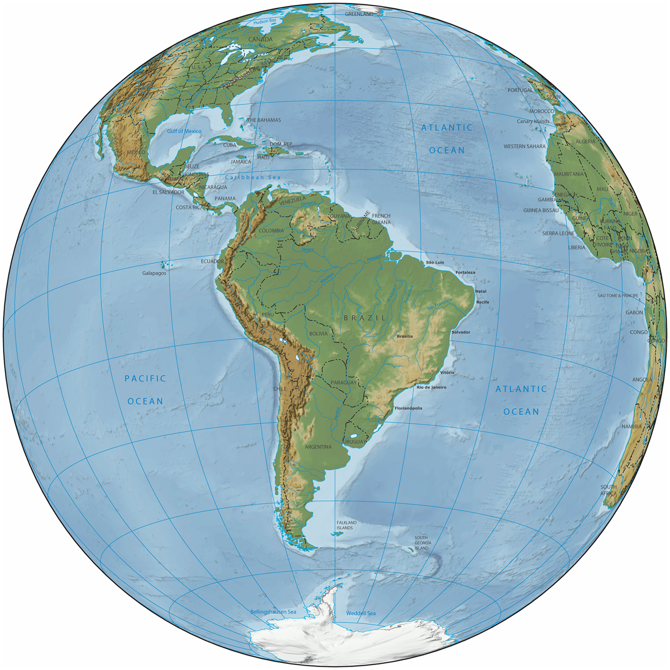
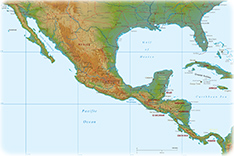
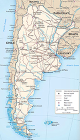
South America - Physiography
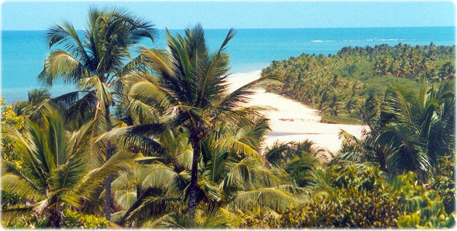
Beach in Porto Seguro, in southern Bahia, Brazil. The first European settlement in Brazil was established in this region, in 1503, by the Portuguese. Today the region is one of the most popular South American tourist destinations.
|
Copyright © Geographic Guide - Maps of World, American Continent. |
South America - Physiography