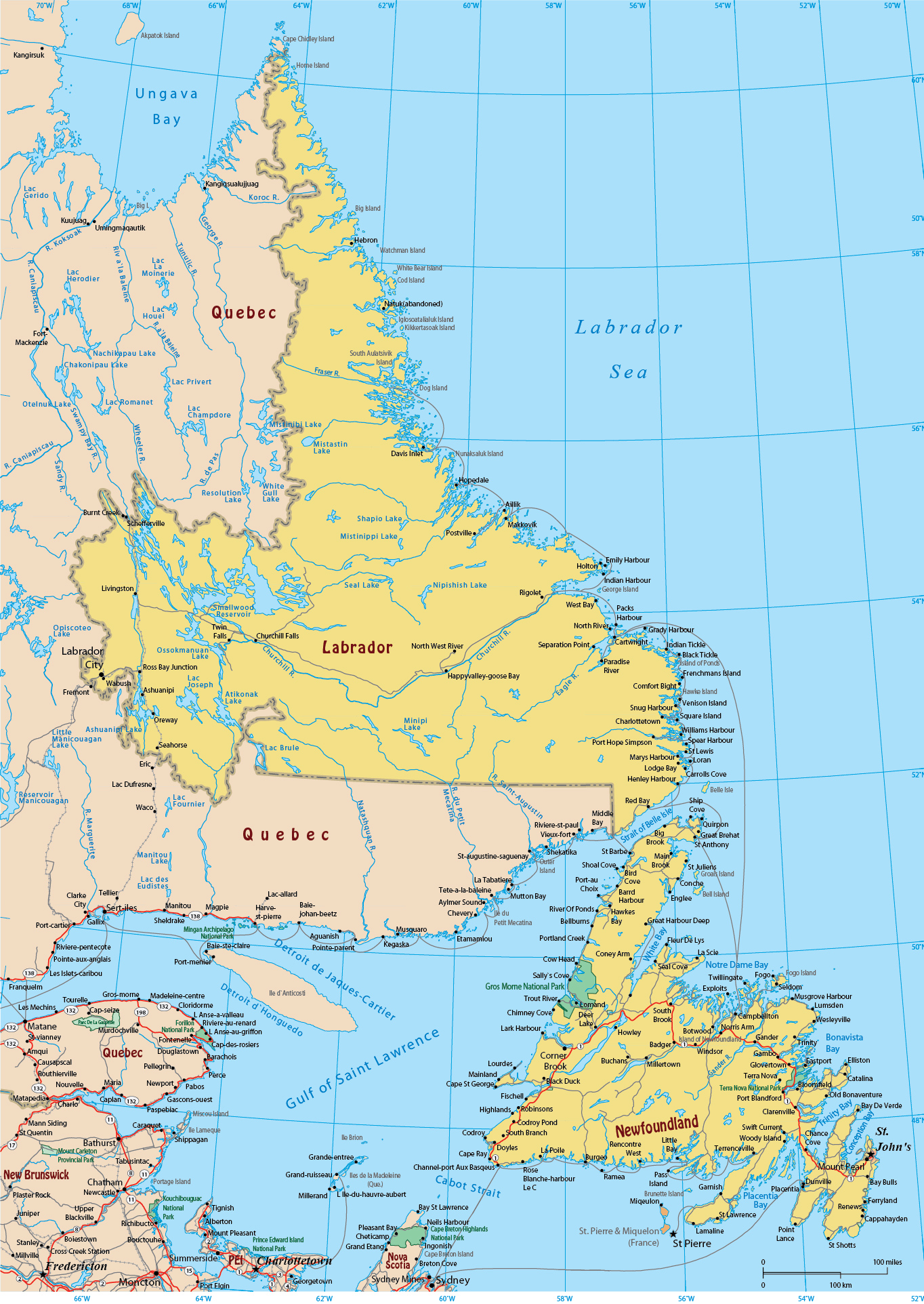
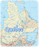
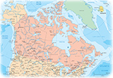
Map of Newfoundland and Labrador - Province of Canada
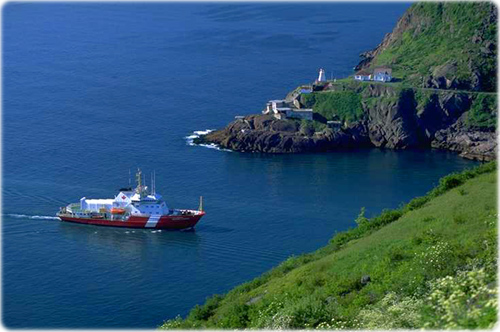
Entrance to St. John's Harbor, Newfoundland.
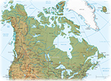
◄ World Maps
Copyright © Geographic Guide - Maps World, Maps of Canada.