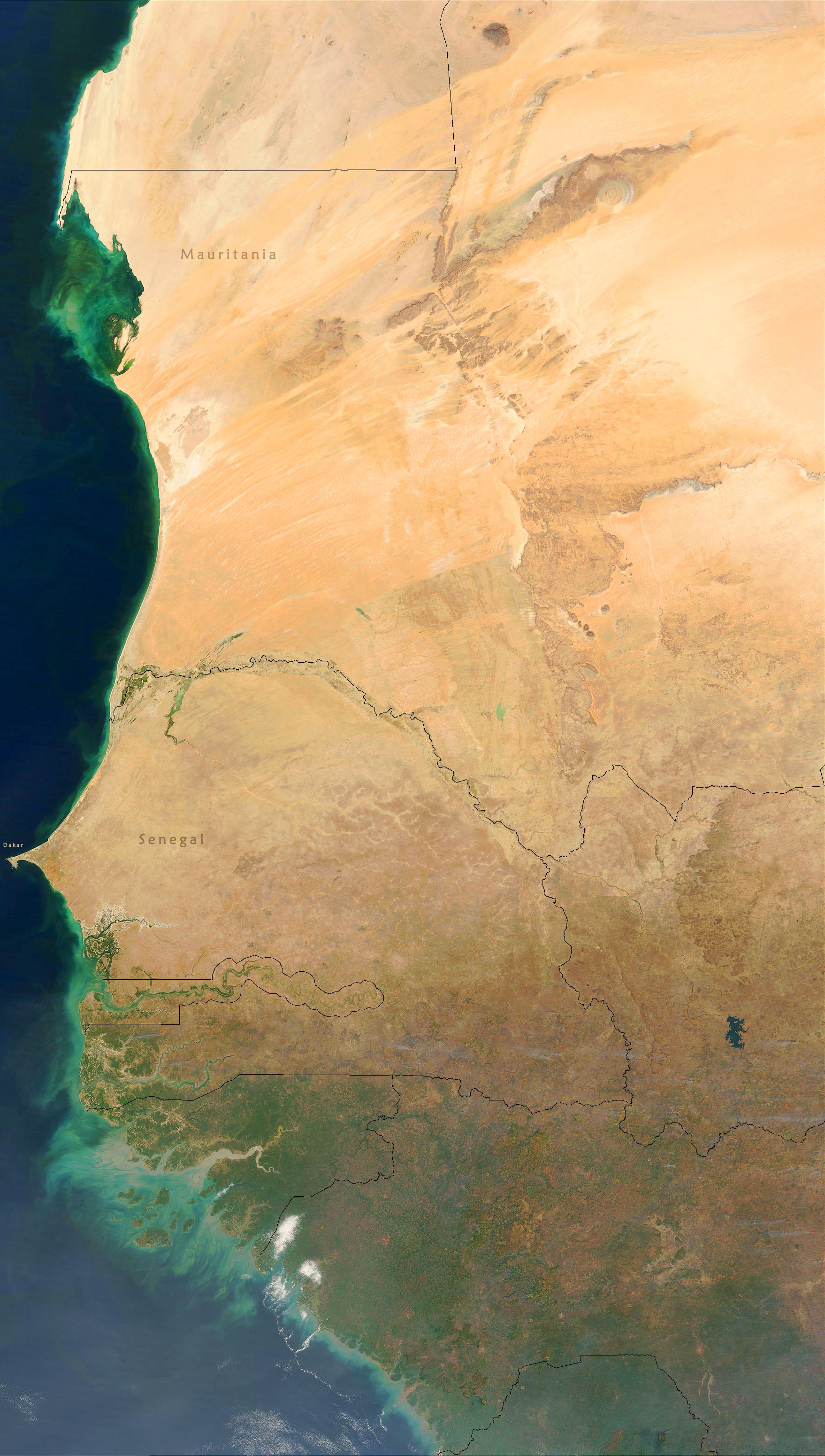
Satellite Image of West Africa
The western end of the great Sahara Desert. This true-color image were captured by the Terra and Aqua satellites from November 2002 to April 2003 (NASA).
The most important characteristic of a desert biome is that it receives very little rainfall, usually about 250 mm per year. During the day, desert temperatures rise to an average of 38°C. At night, desert temperatures fall to an average of -4°C. Vegetation is sparse, consisting of cacti, small bushes, and short grasses. Perennials survive for several years by becoming dormant and flourishing when water is available. Annuals are referred to as ephemerals because some can complete an entire life cycle in weeks. Since desert conditions are so severe, the plants that live there need to adapt to compensate. Some, such as cacti, store water in their stems and use it very slowly, while others, like bushes, conserve water by growing few leaves or by having large root systems to gather water.
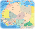
Western Sahara
Nouadhibou
Gambia
Sierra Leone
Guinea
Guinea-Bissau
Atlantic Ocean

|
|
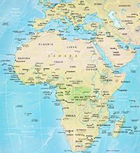
Copyright © Geographic Guide - Maps World, African Continent. |
All rights reserved |