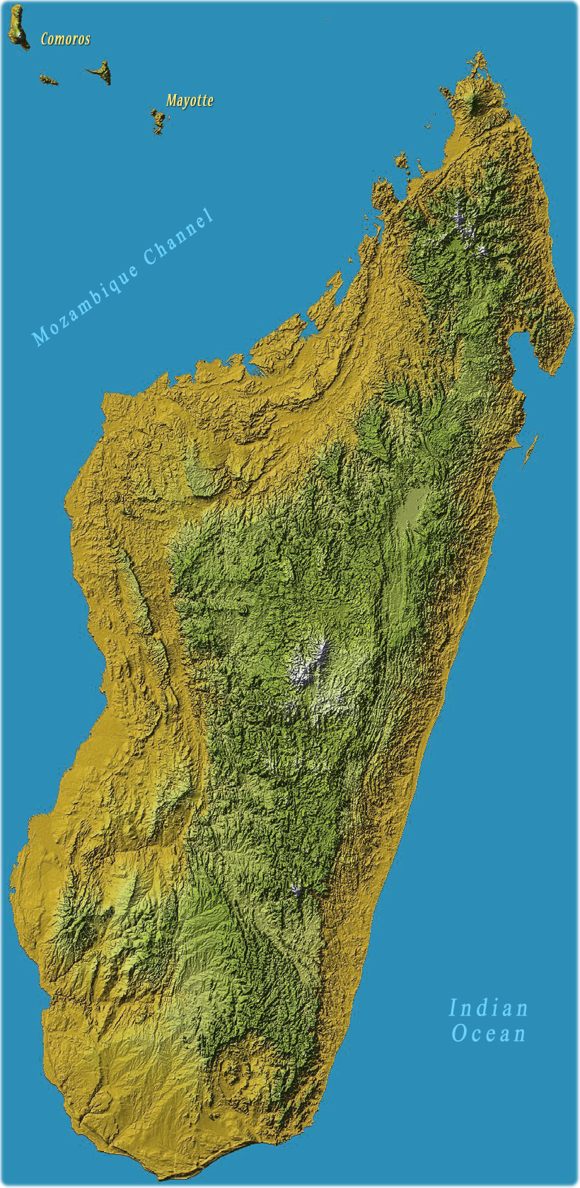
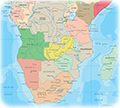
Image of Madagascar Island
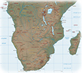
The Republic of Madagascar is an island country that includes the island of Madagascar and numerous peripheral islands. It is the world's fifth largest island (after Australia, Greenland, New Guinea, and Borneo) and lies off the southeastern coast of Africa.
In the early 19th century, most of Madagascar island was united and ruled as the Kingdom of Madagascar. The monarchy ended in 1897 by the annexation by France, from which Madagascar gained independence in 1960.
Shuttle Radar Topography Mission, Colored Height, NASA
|
Copyright © Geographic Guide - Travel the World, African Continent. |