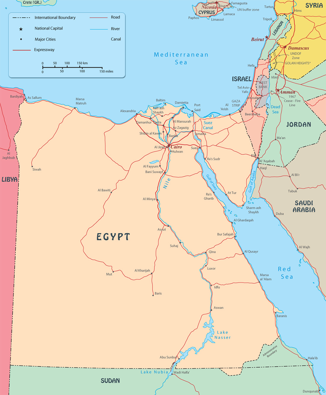
Map of Egypt
More Images of Egypt ►
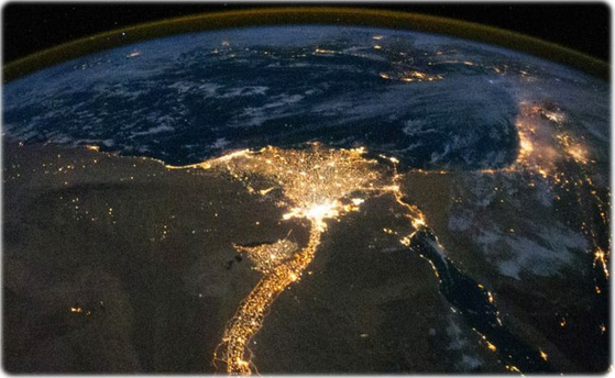
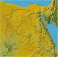
The Arab Republic of Egypt is a country in northeastern Africa and southwestern Asia. Most of the country lies in Africa, but the easternmost portion of Egypt, the Sinai Peninsula, is part of Asia. It forms the only land bridge between the two continents. Most of Egypt’s terrain is desert, divided into two unequal parts by the Nile River.
The valley and delta of the Nile are the main centers of habitation. The capital and largest city is Cairo.
Mediterranean Sea
Egypt
Nile
Sinai
|
Copyright © Geographic Guide - Maps World, African Continent. |