
Images of Egypt
Egypt (Jumhuriyat Misr al-Arabiyah) has 27 governorates: Ad Daqahliyah, Al Bahr al Ahmar (Red Sea), Al Buhayrah, Al Fayyum, Al Gharbiyah, Al Iskandariyah (Alexandria), Al Isma'iliyah (Ismailia), Al Jizah (Giza), Al Minufiyah, Al Minya, Al Qahirah (Cairo), Al Qalyubiyah, Al Uqsur (Luxor), Al Wadi al Jadid (New Valley), As Suways (Suez), Ash Sharqiyah, Aswan, Asyut, Bani Suwayf, Bur Sa'id (Port Said), Dumyat (Damietta), Janub Sina' (South Sinai), Kafr ash Shaykh, Matruh, Qina, Shamal Sina' (North Sinai) and Suhaj.

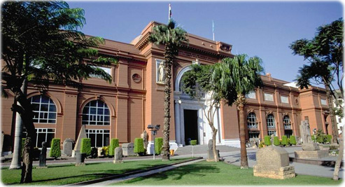
Egyptian Museum of Antiquities, at Tahrir square in Cairo. It has 107 halls with huge statues, jewels, Tutankhamon treasures and the mummies.
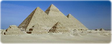
Great Pyramids at Giza.
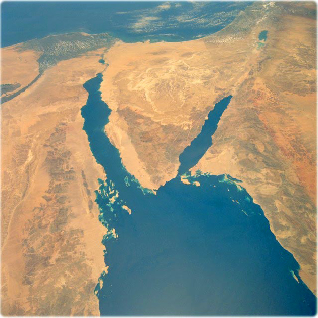
Sinai Peninsula, Egypt (NASA, 1991). The deep blue waters of the northern Red Sea provide a striking contrast to the sandy landforms, hills and mountains of the arid landscape of northeastern Egypt, northwestern Saudi Arabia, southern Israel, and a small part of southwestern Jordan. Elevations for the mountains that ring the northern end of the Red Sea vary from approximately 610 meters to 910 meters, with many peaks exceeding 800 meters. One peak exceeds 2440 meters. The light, more highly reflective pattern in the north-central Sinai is a drainage network of dry stream channels and lakebeds. Other landforms include the northernmost extent of the Nile River and its delta, the Suez Canal (northwest side of the Sinai Peninsula), the Gulf of Aqaba (southeast side of Sinai), the Dead Sea Rift, and the demarcation line in the desert between Israel and Egypt along the eastern edge of the Sinai caused by Israel’s emphasis on agriculture.

|
Copyright © Geographic Guide - Travel the World, African Continent. |
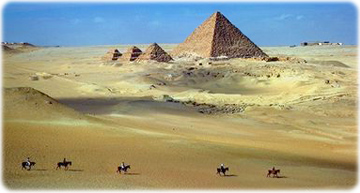
Egypt
Sinai Peninsula, Egypt.
Alexandria
Cairo
Images of Egypt
Red Sea
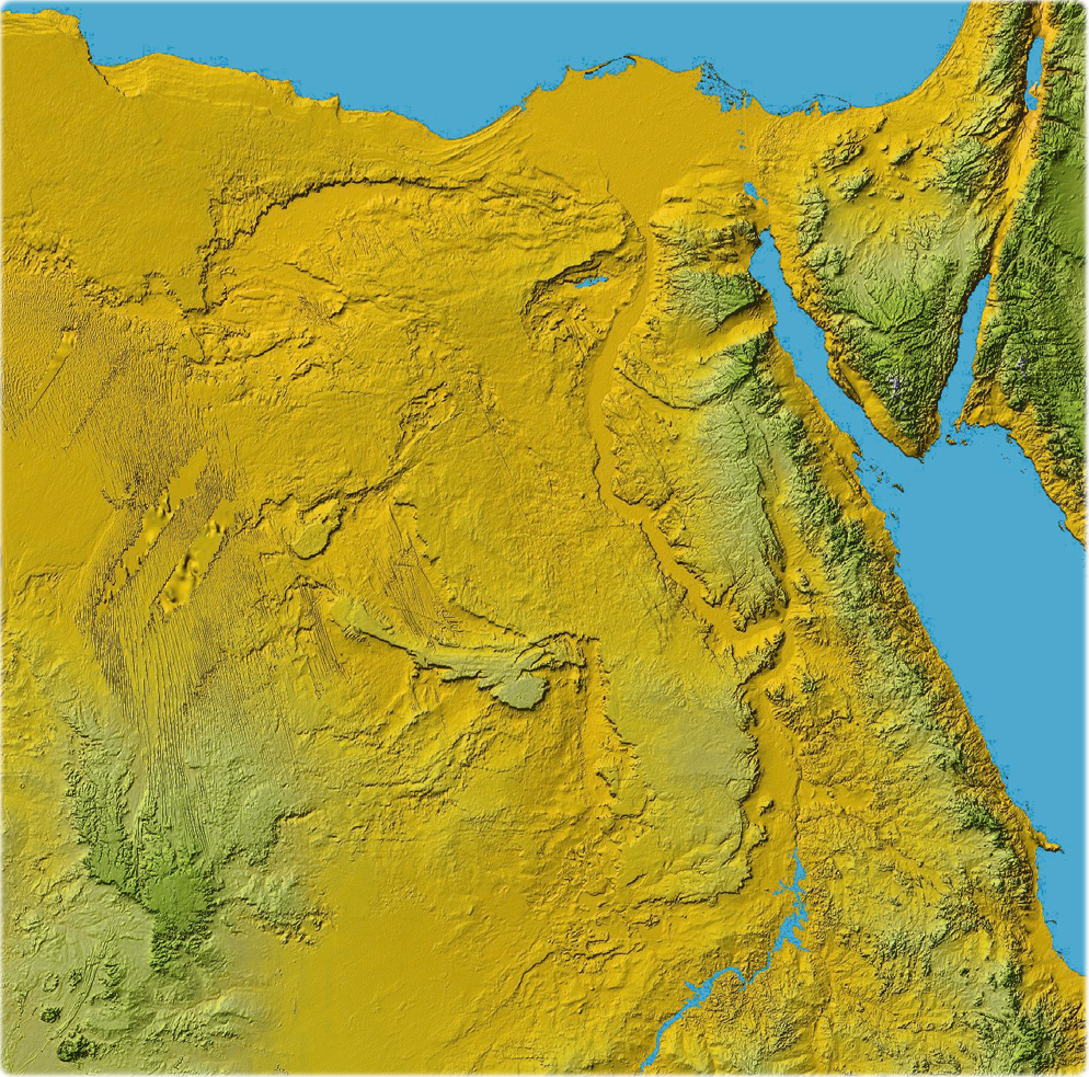
Shuttle Radar Topography Mission, Colored Height, NASA