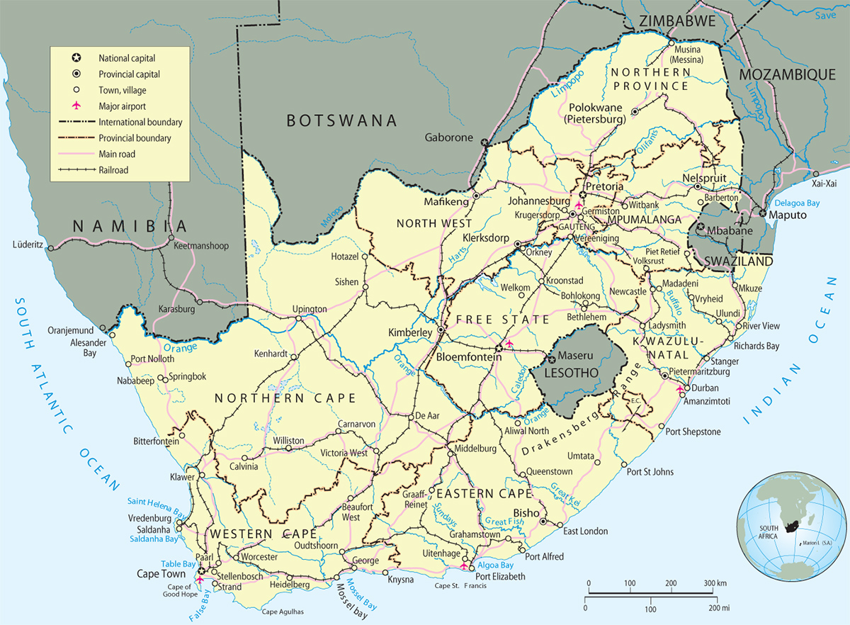
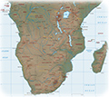
South Africa Map
South Africa is a constitutional multiparty democracy, with three spheres: local, provincial and national government. Capitals: Pretoria (administrative), Cape Town (legislative) and Bloemfontein (judicial). Provinces: Eastern Cape, Free State, Gauteng, KwaZulu-Natal, Limpopo, Mpumalanga, Northern Cape, North West and Western Cape. Official languages: English, isiZulu, isiXhosa, isiNdebele, Afrikaans, Siswati, Sepedi, Sesotho, Setswana, Tshivenda, Xitsonga. Mining, transport, energy, manufacturing, tourism and agriculture are the key economic sectors. Currency: Rand (ZAR) – 100 cents equal one rand. Time: GMT +2 hours.
|
Copyright © Geographic Guide - Maps World. African Continent. |
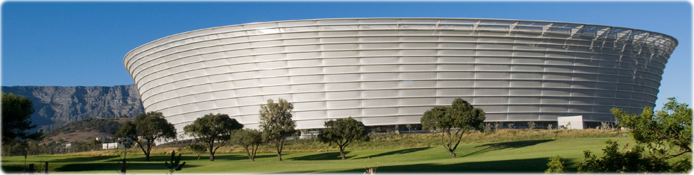
Cape Town Stadium, South Africa (Rodger Bosch).
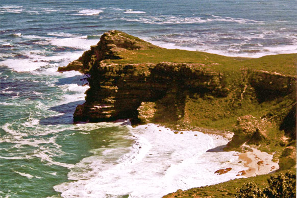
Shoreline along the Cape of Good Hope.